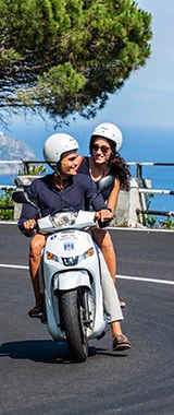
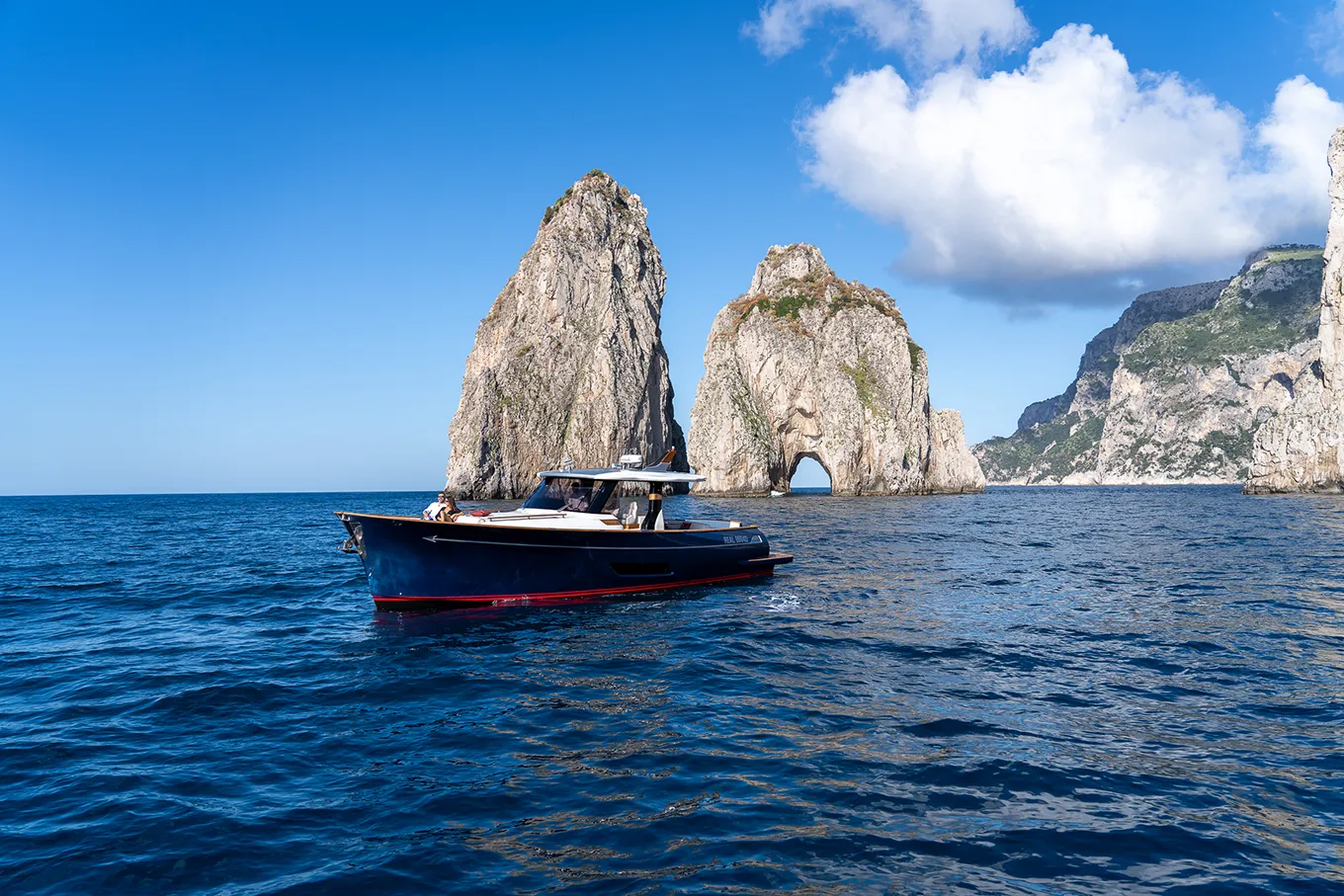
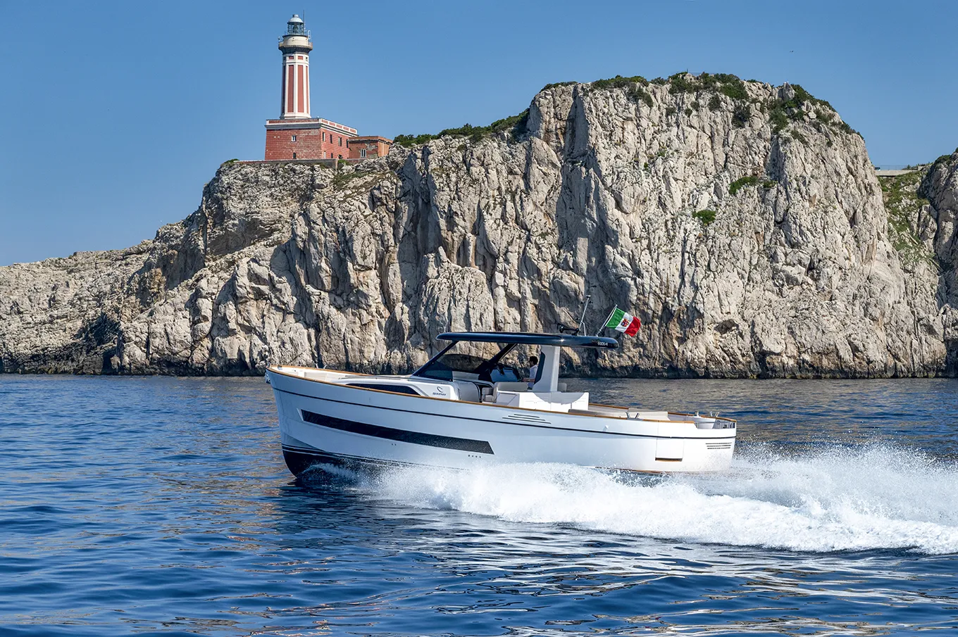
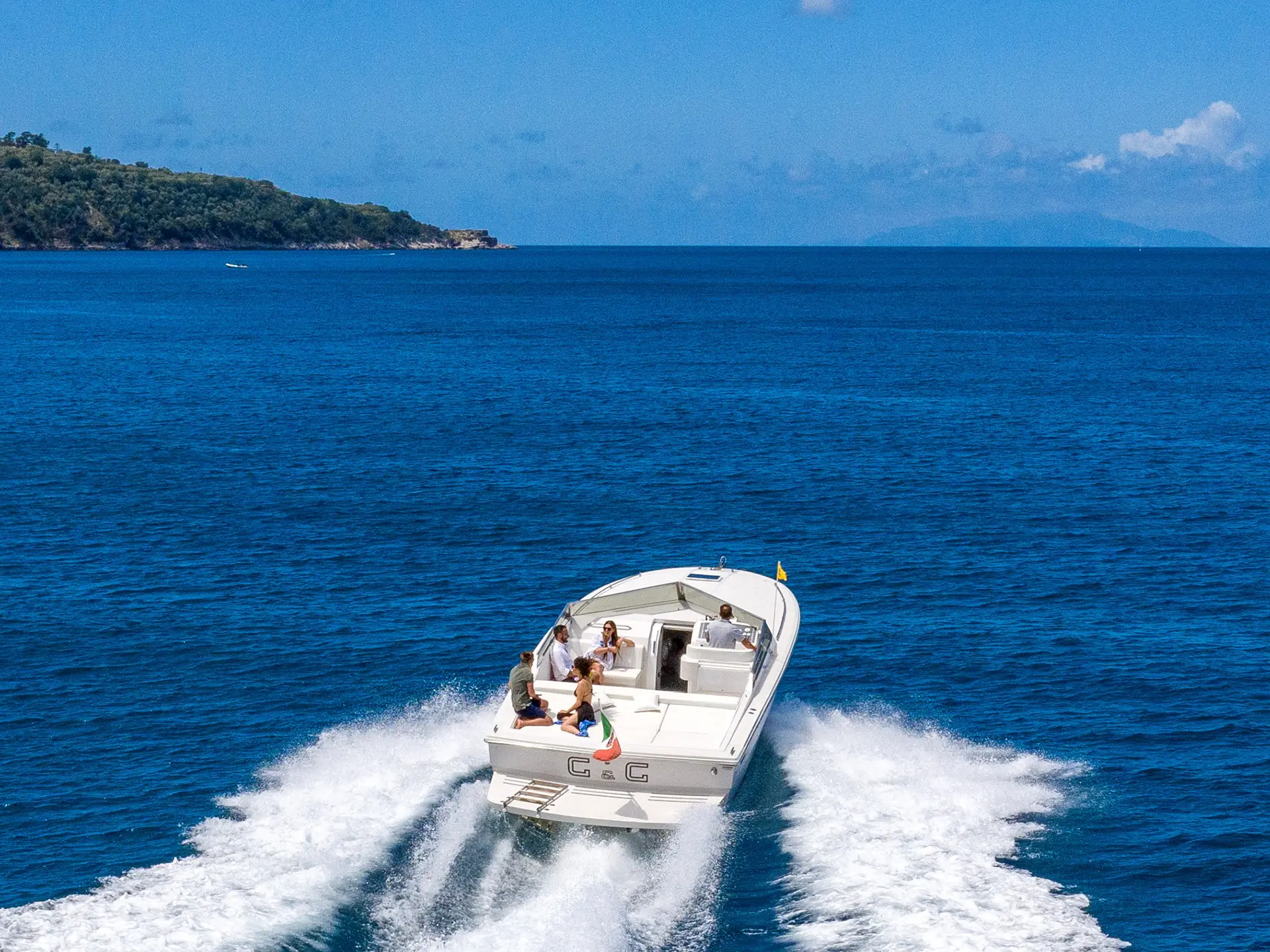
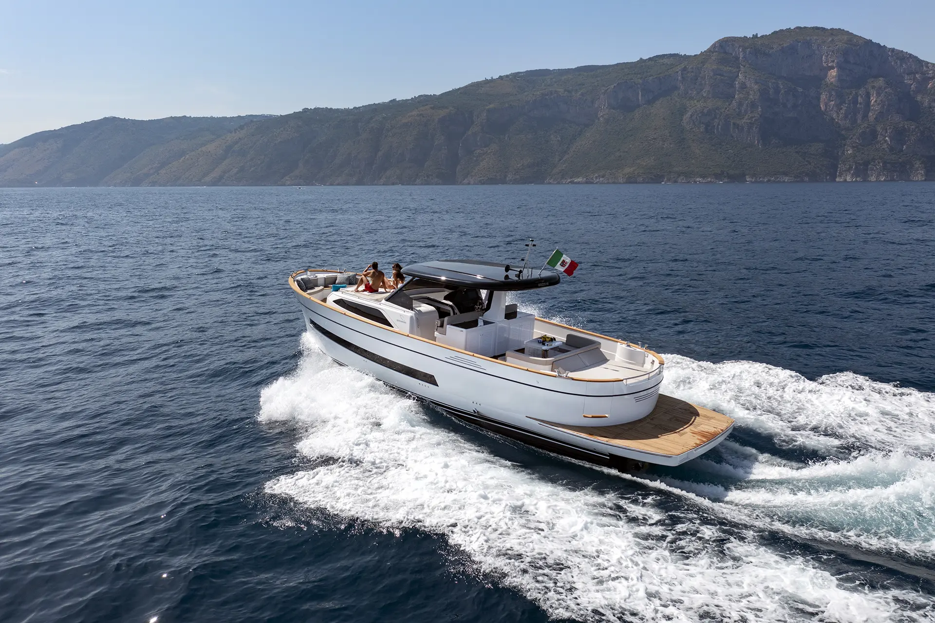
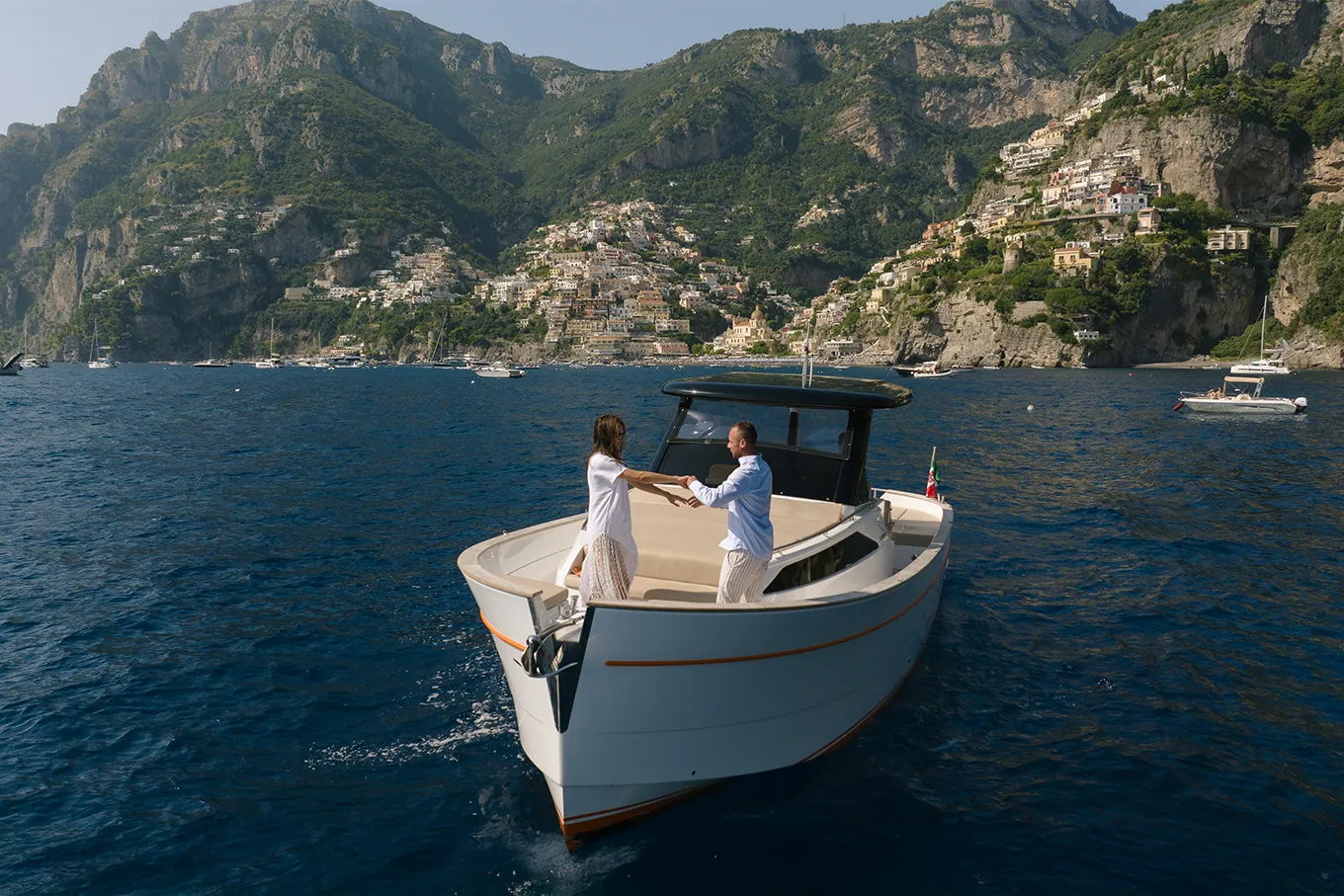
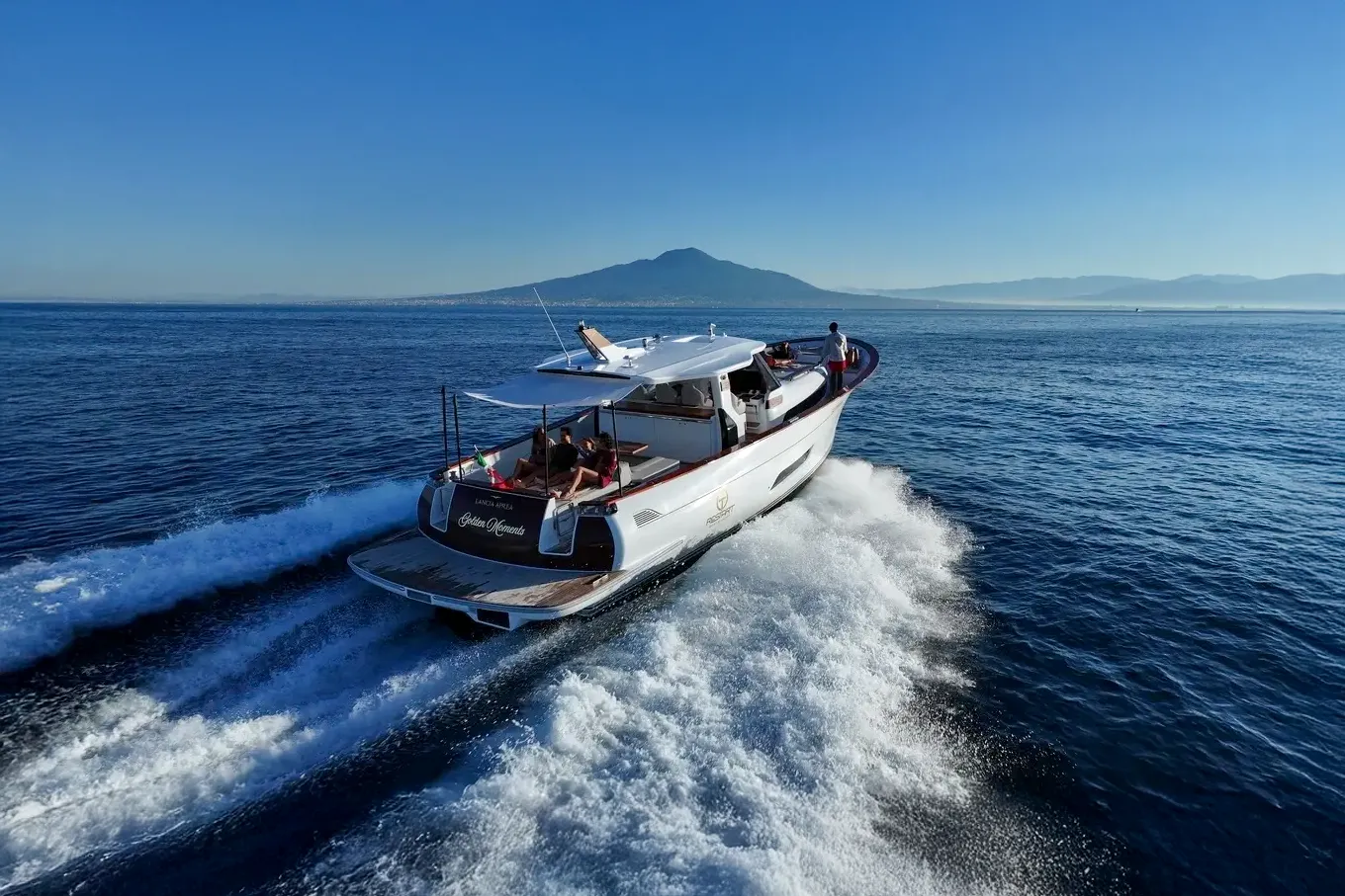
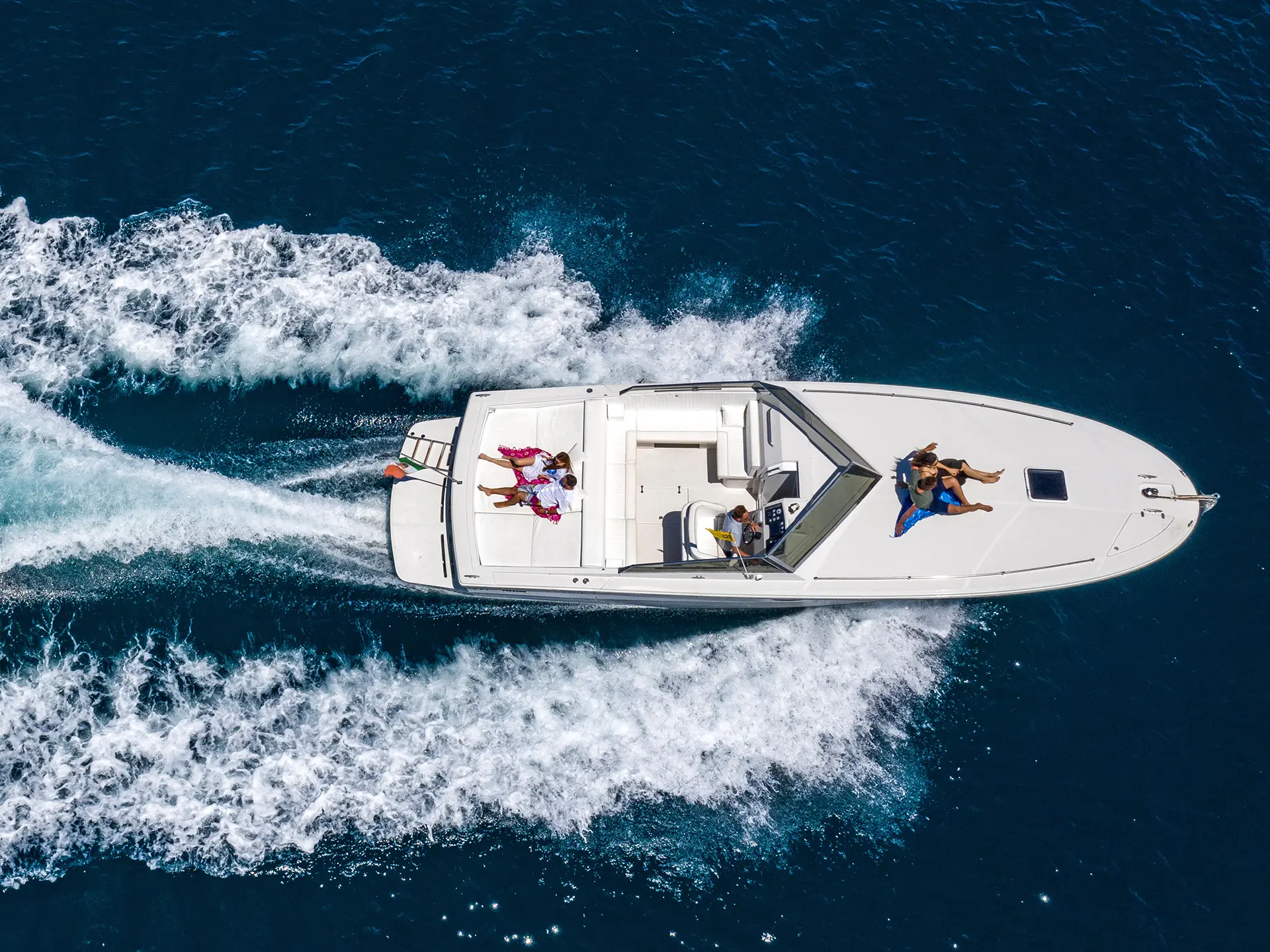
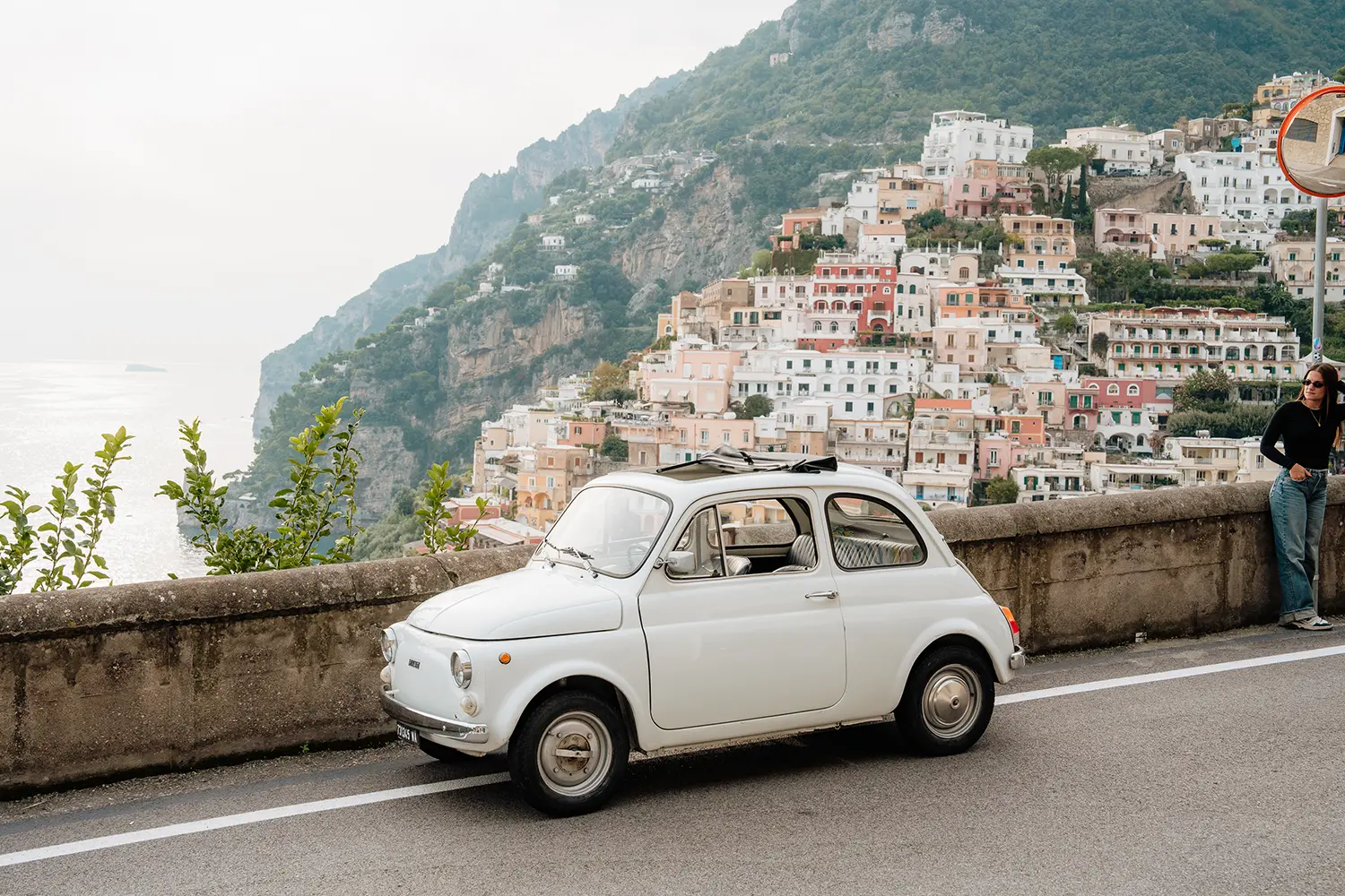
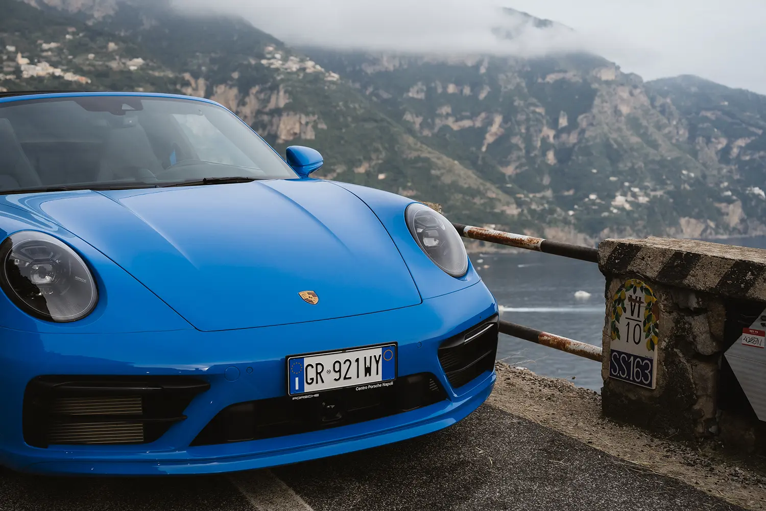
Discover the boats in the Gulf of Naples and Salerno.
Service offered by Marine Traffic.
Marine Traffic is a software used to track the ships and check all the information regardint their positions, route, destination, ship’s characteristics and actual positions at open sea.
The software is connected with the AIS Technology (Automatic Identification System)
Basing on this premise, you can now see on the map all the vessels equipped with the AIS.
Moreover, Marine traffic offer a database which includes a huge number of information about the ships, as for example the place where the ship has been build, the size and tonnage of the ship, the flag and nationality and, sometime, it also offer pictures of the ships.
You can also add upload ship’s pictures if you have it.
The position can be seen on Google maps, thanks to the API Key.
Marine Traffic basic free version can be upgraded to the full version, mostly used by marine operators and professional users.
The site is very popular and more than 6 millions of unique visitors use the website for personal research or for obtaining important information.
Moreover, as per the IMO (International Maritime Organization) the AIS is compulsory on board of any passenger vessel or on board of vessels with a net tonnage larger than 299, but many smaller boats and yachts are equipped with this system
Thanks to Marinetraffic you can check the route of the ferries, sailing inside the bay of Naples , from the cities along the coastline to the isle, or check the position and destination of the cruise ships.
As well you can check the name of the bigger yachts at the anchor in Capri or along the Amalfi Coast and find many interesting information.